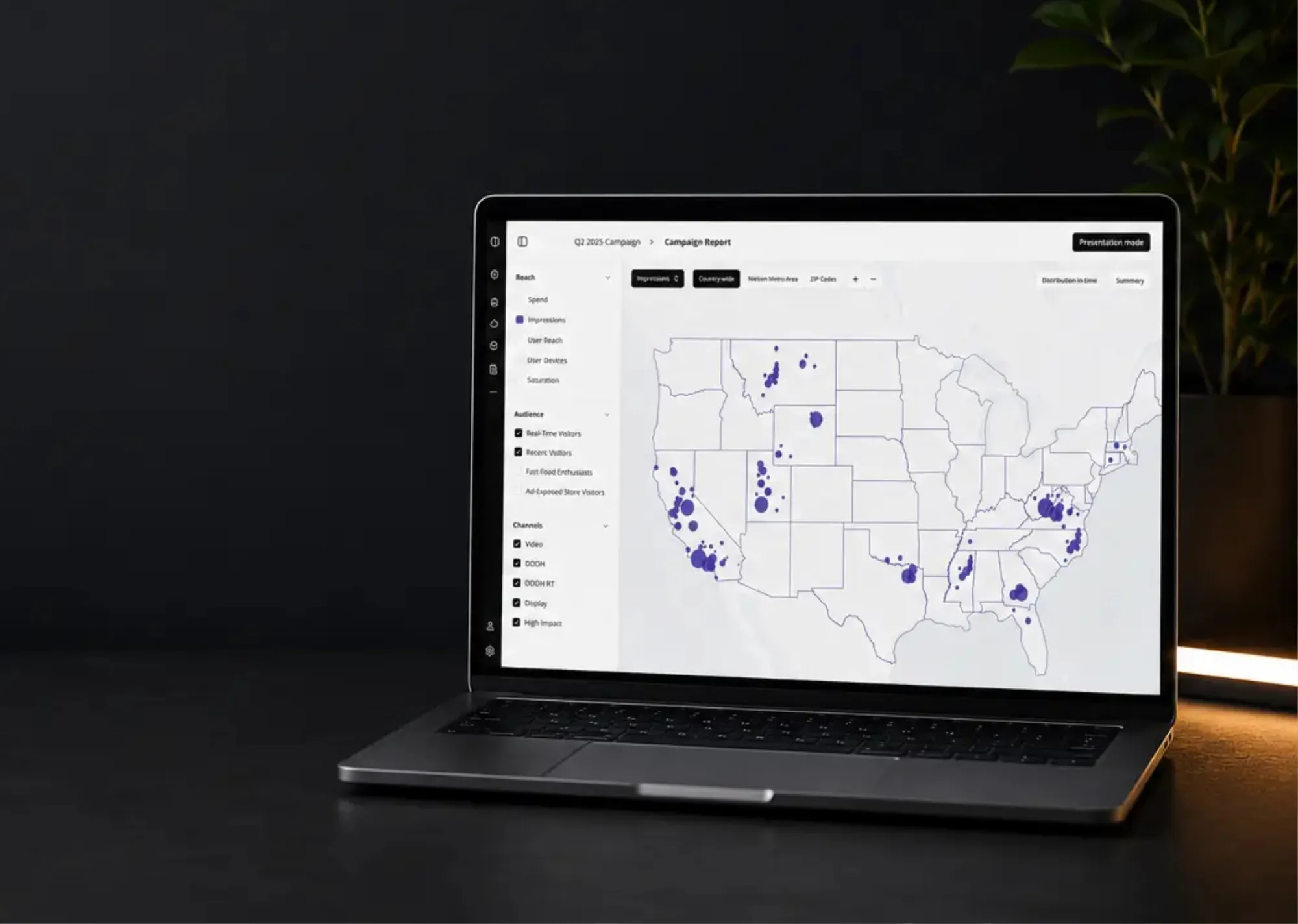

The Client: Klever Programmatic is a global adtech company that helps agencies and brands run ad campaigns across multiple digital channels. They connect digital advertising with offline behavior, using real-world location and movement data to target audiences.
The Challenge: Klever wanted to add an interactive geolocation mapping module to their existing platform. A clear visual tool was needed to show exactly how and where their proximity ads trigger in the real world. They needed the specialized GIS (Geographic Information Systems) expertise.

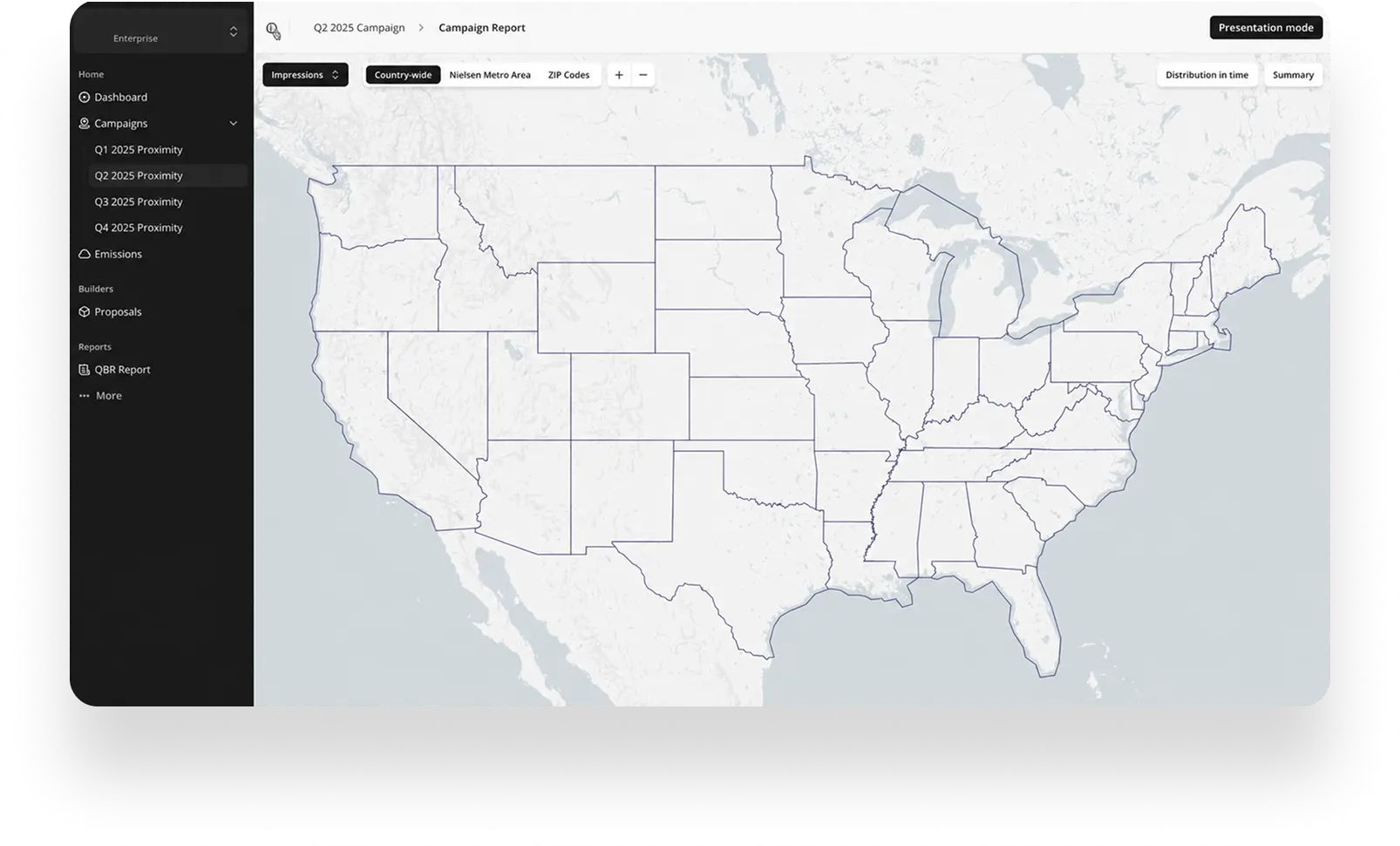
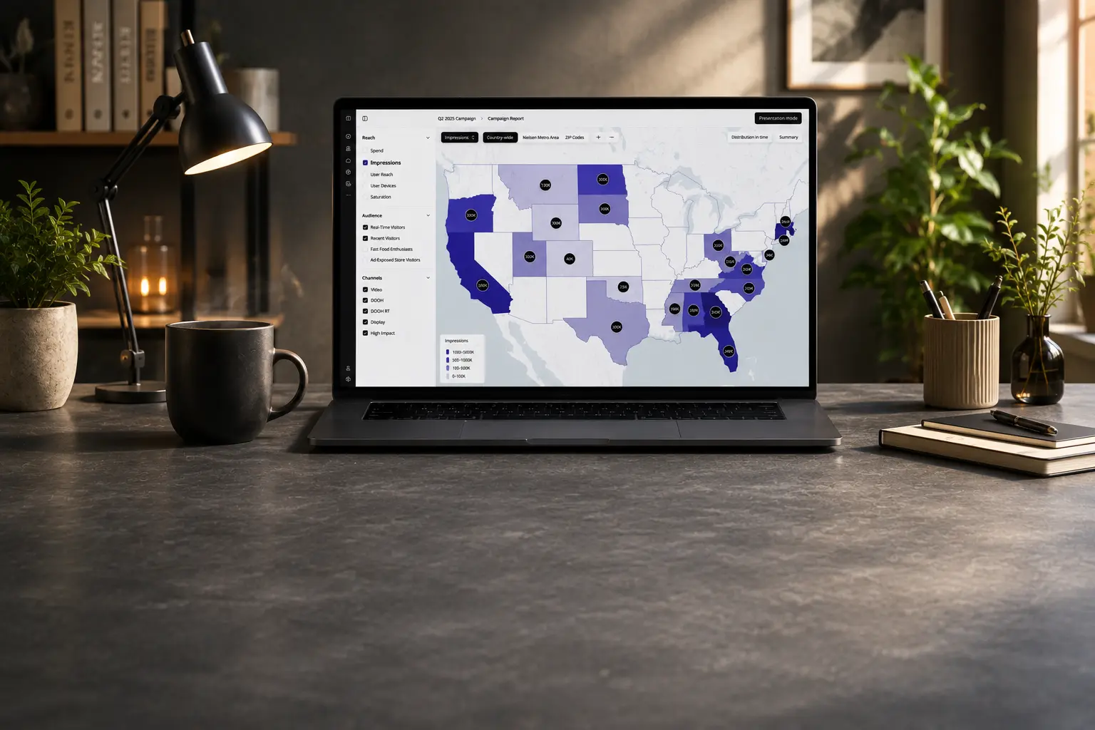
We engineered an interactive, custom-built map visualization layer with complex polygon rendering for working with large-scale geolocation data.

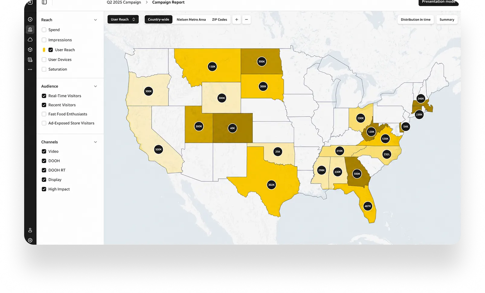
View performance data across custom geographic zones, including states, counties, and ZIP codes.

Explore audience activity, impressions, and campaign performance on an interactive map in real time.

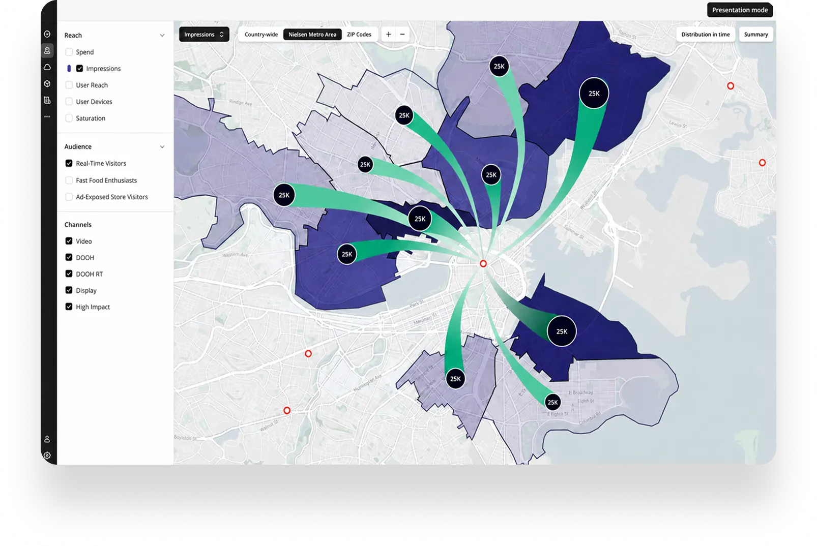
Visualize the exact movement lines and trajectories between moving consumers and active ad triggers.

Playback to understand movement patterns and changing trends through traffic, clicks, and impressions over hours, days, or weeks.

Chosen for its ability to render large geolocation datasets and handle multi-layered interactive maps.
For custom visualizations of movement and spatial relationships.
Selected for lightweight state management and smooth interactions.
Download


Let's win your market together!
Contact us to discuss your app idea and possibilities. We’ll advise you on the best solution and estimate the project. If you have any questions – we’ll provide you with answers.

Schedule a call with Mark,
our Technical Solutions Manager

Write a message
mark.cameron@teacode.io




